Five postcode districts make up most of Manchester city centre. Here is what each covers, how it has changed and where the centre is growing next.
Manchester city centre divides into two parts. M1 and M2 form its emerging prime core, around Piccadilly, Deansgate and Albert Square. M3, M4 and M15 are the city centre fringes: firmly part of the city centre, a short walk from the core, and home to much of its new growth.
That matters for anyone choosing where to live or invest. The postcode on a listing says less about a building than the plans around it. M2, the business heart of the prime core, has very few residents, and that is starting to change.
Manchester City Centre’s Top Postcodes

| Postcode | Covers | Character | What to watch |
|---|---|---|---|
| M1 (prime core) | Piccadilly, Northern Quarter, Oxford Road | Independent, dense, transport hub | Piccadilly Gardens redesign, Mayfield |
| M2 (prime core) | Deansgate, King Street, Albert Square | Business and civic core | St Michael’s and W Residences |
| M3 (city centre fringe) | Castlefield, Spinningfields, St John’s, Greengate, Strangeways | Canals, finance, culture | Strange Quarter, Aviva Studios |
| M4 (city centre fringe) | Ancoats, New Islington | Converted mills, new build | Ancoats Green, New Islington |
| M15 (city centre fringe) | Hulme, First Street, south Castlefield | Low-rise and towers, greener | Continued growth south of the Mancunian Way |
The prime core: M1 and M2
M1 and M2 are the emerging prime core of Manchester city centre: its main station, civic square and principal commercial streets, now becoming a place to live as well as work.
M1: Piccadilly, the Northern Quarter and Oxford Road
M1 is the city’s front door. It holds Piccadilly station, the Northern Quarter’s independent bars and venues, Market Street and the top of the Oxford Road corridor.
The biggest change is east of the station. Mayfield Park, built on a former railway site, was the first new park in the city centre for decades. Manchester City Council says planning permission is in place for nearly 900 homes around it.
The council has drawn up plans to redesign Piccadilly Gardens, with more trees and planting, better lighting and space for events. Further out, its Piccadilly framework estimates the area around the station could take almost 5,000 homes, but only if Northern Powerhouse Rail arrives with an underground station.
M2: Deansgate, King Street and Albert Square
M2 is the smallest of the five and the most commercial. It covers the middle of Deansgate, King Street, the Town Hall and Albert Square, where offices, banks and restaurants have long outnumbered residents.
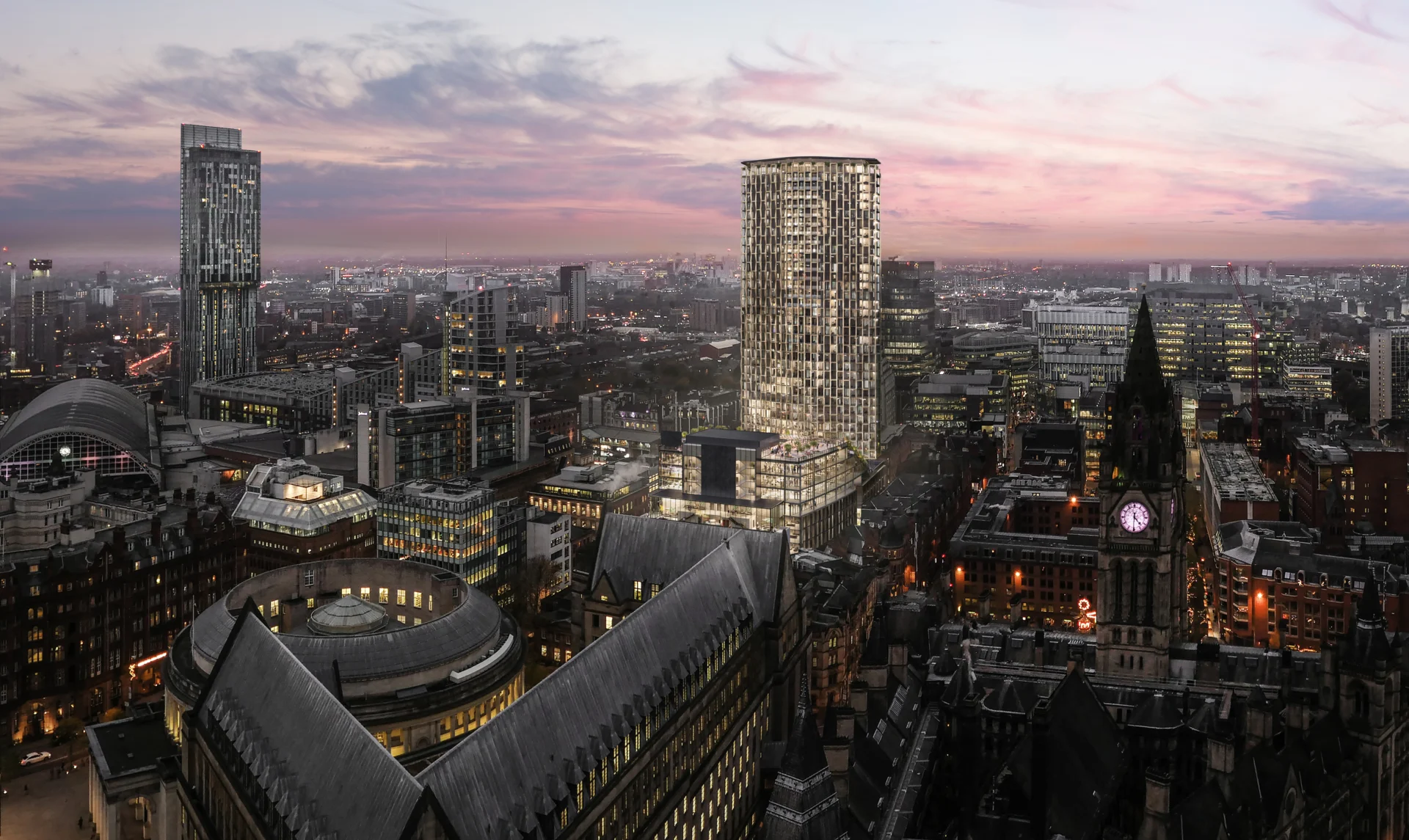
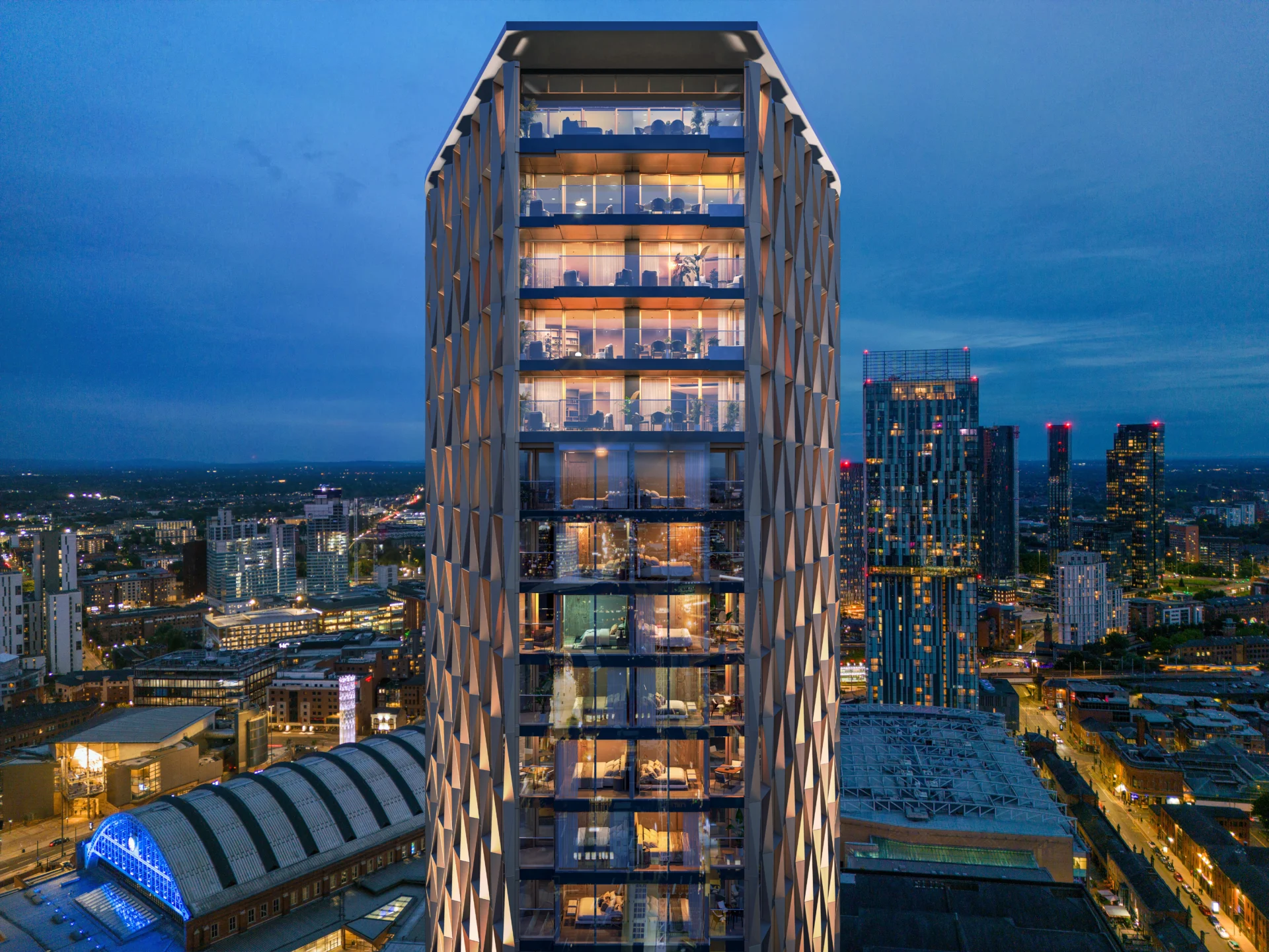
That is changing at St Michael’s on Jackson’s Row, a joint development by Relentless Developments and Salboy. Its 43-storey tower will hold a W Hotel & W Residences and 75,000 sq ft of offices.
The city centre fringes: M3, M4 and M15
M3: Castlefield, Spinningfields, St John’s, Greengate and Strangeways
M3 has the widest range of any central postcode. It runs from the canal basins of Castlefield through the Spinningfields financial district to St John’s and across the Irwell into Salford.
Castlefield’s warehouses and Bridgewater Canal frontage make it the city’s most established residential pocket. Its disused railway viaduct has been reopened as an elevated park.
St John’s is anchored by Aviva Studios, home of Factory International. Across the river, Greengate, Blackfriars and Trinity in Salford share the M3 postcode and have filled with new residential towers.
On the northern edge of the city centre, Strangeways is next. Manchester and Salford city councils have adopted a regeneration framework for Strangeways and Cambridge covering 7,000 homes, 4,500 jobs and a 60-hectare park. Manchester College’s campus on the former Boddingtons Brewery site has opened, and venues such as Hidden and the White Hotel have given the area a name: the Strange Quarter.
M4: Ancoats and New Islington
M4 shows how quickly a Manchester neighbourhood can turn. Ancoats was once a derelict mill district. Its converted mills, new build blocks and Ancoats Green set the standard the council cites for new public space elsewhere.
M15: Hulme and First Street
M15 sits south of the Mancunian Way, on the southern edge of the city centre. Hulme was rebuilt as low-rise streets, townhouses and parkland after its concrete crescents came down.
First Street, home to the HOME arts centre, links Hulme back to Deansgate, and the skyline along the M15 edge carries some of the city’s tallest residential towers. It suits buyers who want more green space with the centre a short walk north.
Where Next
Manchester city centre does not stand still. The prime core in M1 and M2 is becoming a place to live as well as work, and the fringes, from Strangeways to Hulme, are where much of the centre’s next growth is planned.